No immediate flood threat: I&FC
Excelsior Correspondent
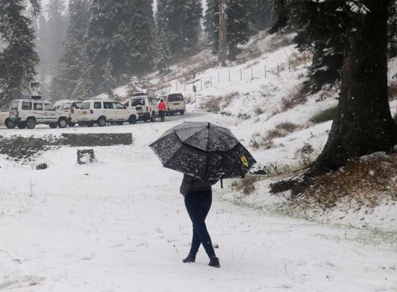
SRINAGAR, Apr 28: Kashmir was lashed by heavy rains while upper reaches had fresh snowfall today leading to rise in the water levels of rivers and streams but administration said that there is no imminent flood threat.
There were intermittent heavy rains in Kashmir today leading to rise in the water level of rivers, streams and other water bodies. Upper reaches of Kashmir including Zojila, Sadhna Top, Razdan Pass, Dawar Gurez, Tulail Gurez, Machil, Kongdori, main Gulmarg, Sinthan Top and Mughal Road experienced fresh snowfall, bringing down the mercury across the Valley.
Weatherman forecast more rains and light snowfall over higher reaches during next few days in Kashmir where present wet spell led to considerable drop in night temperature.
“Generally cloudy weather is expected with light to moderate rain/snow (light snow over higher reaches) at most places with possibility of heavy rain/ thunder/ lightning/ hail/ gusty winds over isolated places of Jammu & Kashmir Division particularly till April 29,” a Meteorological Department official said.
Click Here To Follow Our WhatsApp Channel
“On April 30, generally cloudy weather with light to moderate rain with thunder is expected at many places,” he added.
The Irrigation and Flood Control (I&FC) department said there is currently no immediate threat of flooding in the Valley, despite heavy rainfall predictions for isolated areas of Jammu and Kashmir, particularly on April 28 and 29.
A senior official from the I&FC Department in Kashmir informed that they are actively monitoring the situation, stating that, as of now, there was no immediate danger of flooding in the Valley and there was no need to panic.
“As of now, there is no flood threat in the Valley, we are continuously monitoring the situation and on an hourly basis water level in Jhelum and other water bodies is being gauged”, the official said.
According to the latest update by the I&FC officials, at 6 pm on Sunday, the gauge at Ram Munshi Bagh indicated a water level of 10.87 ft, just below the warning threshold. Similarly, Sangam recorded 6.56 ft, Pampore over 15 M, and Asham 7.49 ft.
Despite the relatively stable water levels, officials, however, have urged caution among people advising against unnecessary venturing near the water bodies.
They also said that if the need arises, they can divert the water volume of Jhelum into the flood channel as an alternative for Jhelum for excess water volume.
In the meantime, Srinagar recorded a minimum of 8.5°C against 10.5°C the previous night and it was 0.8°C above normal for the city for this time of the year.
Qazigund recorded a minimum of 7.4°C against 8.4°C the previous night and it was 0.4°C below normal for the town.
Pahalgam recorded a low of 6.4°C against 6.3°C on the previous night and it was 2.0°C above normal for the resort.
Kokernag recorded a minimum of 6.6°C against 7.9°C the previous night and it was 1.5°C below normal.
Kupwara town recorded a low of 6.3°C against 8.1°C the previous night and it was 1.5°C below normal there.
Gulmarg recorded a low of 1.5°C against 2.4°C the previous night and it was below normal by 2.7°C for the skiing resort.