

Heli service hit at Mata Vaishnodevi
City witnesses 12 deg fall in temp
Gopal Sharma
JAMMU, May 30: Widespread rainfall, thunder and hailstorm brought significant relief from the intense summer heat across Jammu region on Saturday, leading to a sharp decline in temperatures and prompting weather alerts in some areas.
CLICK HERE TO WATCH VIDEO
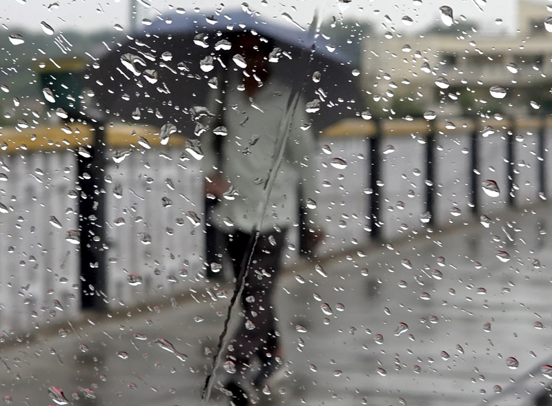
Heavy to moderate rain was witnessed in Jammu, Samba, Kathua, Udhampur, Reasi and parts of Chenab region during morning hours on Saturday. Parts of North Jammu including Sainik Colony, Greater Kailash, Kalu Chak and several parts Samba and Kathua including Gagwal, Hiranagar and border belt of Kathua besides some parts of Billawar also witnessed hailstorm and thunderstorm. The power supply was also disrupted in these areas for some time, but was restored later.
Follow the Daily Excelsior channel on WhatsApp
Despite light rain in parts of Ramban, Reasi and south Kashmir, the movement of traffic on Jammu-Srinagar National Highway remained nearly uninterrupted. Light landslide near a Tunnel at Nandni briefly disrupted traffic movement along a single tube of the highway. But it was restored shortly. With heavy hailstorm, some damage to the crops has been reported from some areas of Jammu region. During day, however the weather remained clear.
Reports from Reasi said that Helicopter service from base camp Katra to Mata Vaishnodevi shrine remained disrupted for a few hours during morning due to bad weather. The service was, however, restored after 11 am as the weather improved.
A Met Department official said that Jammu witnessed about 12.5 degrees fall in temperature during last two days as against the temperature of 43. 5 degree C two days ago. Jammu recorded a day temperature of 30.9 degrees Celsius on Saturday. The night temperature, however, remained 23.0 deg C on Saturday in Jammu.
Katra Mata Vaishnodevi experienced a maximum temperature of 27.6 deg C and minimum 20.2 deg C, Bhaderwah town maximum 22.0 deg C and minimum 7.6 deg C, Banihal maximum 24.2 and minimum 9.7 deg , Batote the day temperature of 21.9 deg C and night temperature of 14.1 deg C on Saturday.
Srinagar recorded a maximum temperature of 28.4 deg C, Pahalgam 22.6 deg, Gulmarg 20.2 deg C, Qazigun 26.0 while Kukernag registered 25.5 dgree C on Saturday.
The weatherman has predicted general dry weather with brief spell of rain/ thunder shower/ gusty winds at isolated places towards late afternoon from May 31 to June 3.
From June 4 to 5, the weather will be partly cloudy with brief spell of rain/ thunder shower at scattered places. On June 6 the weather will remain generally cloudy with brief shower while on June 7-8 the weather shall remain generally dry, the official said.
He said the changing weather pattern over the past two-three days has resulted in a sharp fall of temperature in the region. Gusty winds were also reported from border area of Jammu and Samba districts.
Weather experts have cautioned that the respite may be temporary. The IMD has forecast a return of intense heat during June, with temperatures potentially touching or exceeding 45 degrees Celsius in parts of the region. They said pre-monsoon activity is expected to reach the region by June 25, while the southwest monsoon may enter the J&K after July 1 and could be delayed by nearly a week this year.
Meanwhile, weather conditions also deteriorated across Punjab. Hailstorms were reported in Pathankot during the early morning hours, followed by heavy rainfall that caused waterlogging in several areas. Chandigarh also witnessed rain accompanied by light hail. Mohali, Ludhiana, Jalandhar, and Faridkot received moderate to heavy showers, while strong winds in Amritsar damaged tree branches at some locations.
The Punjab State Disaster Management Authority warned that very dense fog could affect several districts, including Amritsar, Jalandhar, Kapurthala, Ludhiana, and Patiala over the next 24 hours. The weatherman noted that the southwest monsoon remains stalled near Kerala despite reaching the Andaman region ahead of schedule.
 Follow our WhatsApp channel
